Excerpt from the stage. This description isn't enough to find the right way. You will find a detailed description in the Alpina guidebooks and maps _________________________________________
Esporles- Valldemossa (3h ): With your back to the Esporles church, cross the road, take Carrer Nou de Sant Pere and the road leading to Son Cabaspre. 100m after the entrance to the housing estate, go to the right (Camí des Bosc) up a paved track. After a long stretch, take the dirt track on the right (Camí de sa Coma Llobera, 1hr from the Esporles church).
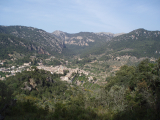
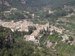
After 3' come to a pass and turn left. 20min later comes out on to a track that you turn left on. After few metres, go to the left again and carry on along this track until you reach a former charcoal burning site (10'). Turn right (dir. E) for 5' and go left down between large rocks. After 5' follow a wall that leads to the pass Coll de Sant Jordi (10', picture 1). Go through a gate and reach the top part of Sa Comuna de Valldemossa (30'). Pass a wall and, at a former charcoal burning site (15'), the path begins to zigzag down to Valldemossa (pictures 2,3) .
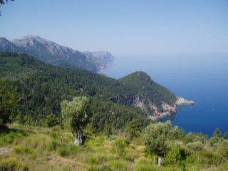
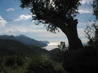
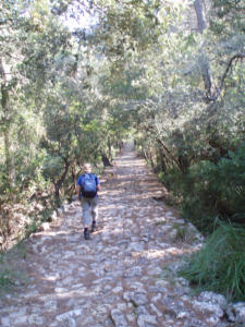
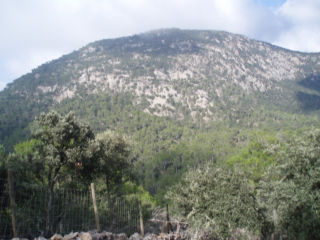
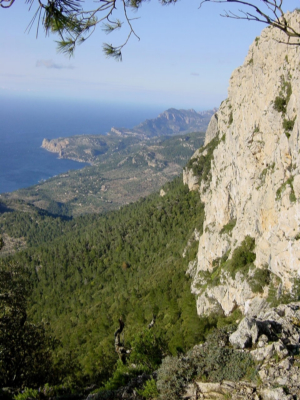
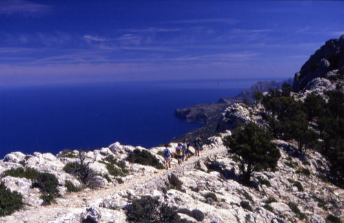
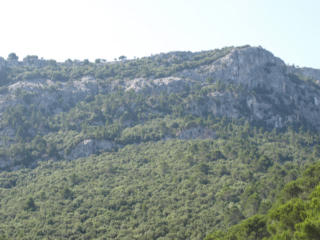
Valldemossa- Deià (3h 30min): THE FIRST SECTION OF THIS STAGE (explained here) NEEDS A PERMIT. THE SIGNPOSTED ROUTE FOLLOWING COMA DES CAIRATS IS POSSIBLE WITHOUT PERMIT. From the bus stop, go to Carrer de les Oliveres. The footpath starts at the end of it and follows the left side of a fence for 100 metres, turning then leftand, shortly afterwards, passing over a stile (wooden steps). After 50m turn right at the fork, ascend in zigzags and go over a wall, up to the Pla des Pouet (clearing with a water cistern- 1h from Valldemossa). Turn right before reaching the cistern and reach the pass in 10'. Go to the right uphill, past a path on your right, go through a wall and, at the next fork, ascend to the left. In about 10' reach the crest (pictures 4, 5, 6). The path follows the ridge for about 20' and, soon after leaving the steep cliffs, you will see on your left the cairns that indicate the descent to Deià. Leave the ridge trail and go left: finding your way (dir. N) would be difficult in fog as you would not see the next cairns that guide you to the cliffs. Some holm oaks (10') mark the spot where the path begins its spectacular zigzagging descent (picture 7) and, 20 minutes later, you enter the forest.
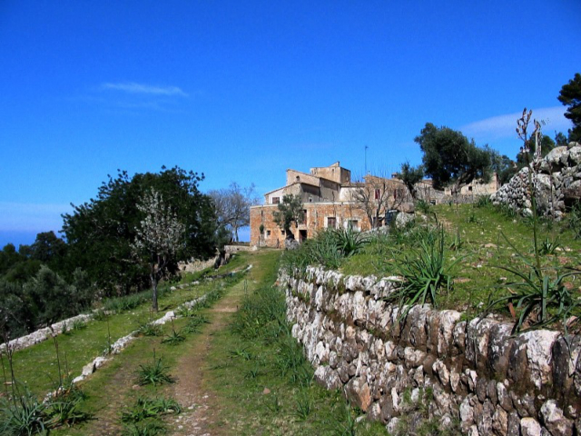
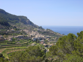
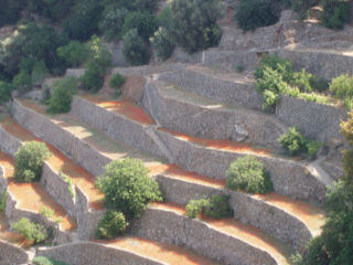
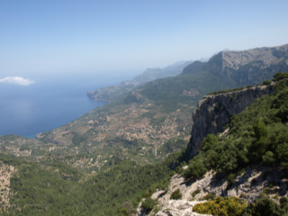
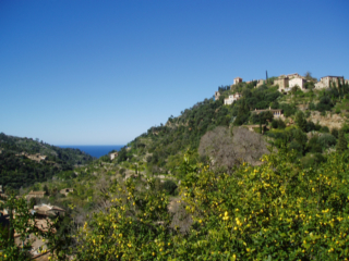
After a short time, you will see a former charcoal burning site with a bread-baking oven: take the path on the right and, after a few meters, the one on the left downhill. You pass by a water basin hollowed out of the rock and take the path to the left twice more. Go straight on over the next junction and leave the holm oak wood entering the olive tree terraces (picture 8). Five minutes later you come to a wall: there are markers in all directions – it doesn’t matter if you take the cart track to the right or go straight on along the cobbled short cuts (which lead to the track). What you must not do is go over the gate (which would take you to Son Rul·lan). Soon you have to leave the cart track and take the path on the left and, in a few metres, after passing a dried up spring, turn left once again. The cobbled path is overgrown with vegetation and takes you in about 30' to a track which leads to the main road (5'). Go to the left for 100 meters, turn right on the first street and, again, to the right to Deià (pictures 9, 10) and to the mountain hostel Can Boi (10').
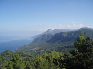
(6) Camí de S'Arxiduc, view to the south
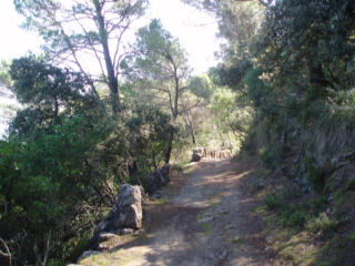
(8) Cingles de Son Rul.lan
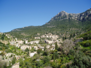
(10) Deià